

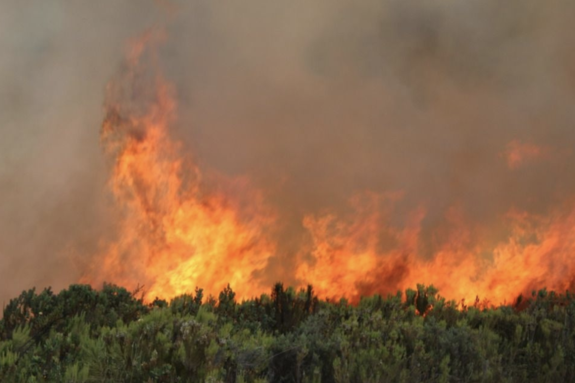
Google has announced the expansion of its AI-powered Wildfire Boundary Tracker to 17 new countries, including Kenya, as part of efforts to combat the growing global threat of wildfires.
The tool, which provides real-time information on wildfire boundaries through Google Search and Maps, aims to enhance community preparedness and response to these natural disasters. This expansion comes amid a surge in wildfires across Europe and Africa, underscoring the urgent need for advanced tracking technologies.
“We are committed to using technology to help people stay safe during natural disasters,” said Yossi Matias, Vice President & Head of Google Research in a press statement. “By expanding our wildfire boundary tracker, we hope to empower communities with the information they need to protect themselves and their loved ones.”
Google’s wildfire tracking model employs artificial intelligence to analyze satellite imagery and various data sources, delivering precise information on fire spread patterns. “We also validate our wildfire model by comparing it against our own model of fire scars — shapes determined after a fire has been contained — based on measurements from past wildfire events. Other AI models are used to verify the existence of fires, and together all of this enables more accurate and definitive wildfire boundaries than using satellite imagery alone,” Google said in a blogpost.
The Wildfire Boundary Tracker, first launched in the United States in 2020, has already proven effective in several high-risk areas. Its introduction in Kenya marks a significant step in bringing this technology to the African continent. “As we were rolling out this new capability this summer, we mapped over 40 wildfires in southern Europe, including fires in Spain, Greece and Cyprus last month — and others from Portugal to Kenya,” Google says. “As many as 1.4 million people saw our wildfire information in the first week of July alone, after wildfires broke out across Europe and Africa.”
A United Nations Environment Programme (UNEP) report warns of increasingly frequent, intense, and prolonged wildfires globally as temperatures rise due to human-driven climate change. While media attention often focuses on blazes in Australia, Europe, and North America, Africa bears the brunt of this crisis, accounting for 67% of the annual global burn area.
This year, Global Forest Watch reported 341 high-confidence fire alerts in Kenya, with fires contributing to 0.6% of tree cover loss in the country between 2001 and 2023. In 2019, raging fires destroyed parts of Mount Kenya National Park and surrounding areas affecting almost 20,000 hectares of land and killing wildlife. Last year, a wildfire ravaged 40,000 hectares of the Aberdare National Park.
Google’s newly expanded Wildfire Boundary Tracker aims to address this growing threat. The tool sends targeted alerts to affected populations, providing crucial safety information and guidance. To ensure widespread accessibility, the system supports multiple languages and is designed to complement existing emergency response efforts.
“Wildfire boundary tracking aims to be useful on the ground to both native language speakers and visitors who may not speak the local language. These notifications are based on user settings and their preferred language, giving travelers during tourist season ways to receive timely, local information about wildfires in their language,” Google explained.
Global economic losses from wildfires surged to nearly $4 billion in the first nine months of 2023, according to a report released by insurance giant Swiss Re. This figure marks a significant increase from the previous year, underscoring the growing financial toll of climate-related disasters. However, it falls well short of the record-breaking damages seen in 2018, when wildfire-related costs soared past $22 billion.

Wildfires globally add around 5 to 8 billion tonnes of CO2 each year. For context, globally, the world emits around 37 billion tonnes of CO2 from fossil fuels and cement yearly.
Google’s initiative represents a growing trend of tech companies leveraging artificial intelligence for disaster management, potentially setting a new standard for wildfire response globally.
The expansion covers 17 countries across Europe and Africa, including Andorra, Bosnia & Herzegovina, Bulgaria, Croatia, Cyprus, France, Greece, Italy, Kenya, Monaco, Montenegro, North Macedonia, Portugal, Rwanda, Slovenia, Spain, and Turkey.