


EOS Data Analytics, a global leader in AI-powered satellite imagery analytics, has unveiled a new feature called the VRA Map Builder within its EOSDA Crop Monitoring platform. This update enhances the platform’s capabilities, allowing farmers and agronomists to generate Variable Rate Application (VRA) maps by integrating data from various sources, such as satellite imagery and smart machinery files.
Available to users on the Professional plan, the VRA Map Builder offers a streamlined approach to creating VRA maps, simplifying a process that has traditionally required specialized software and expertise.
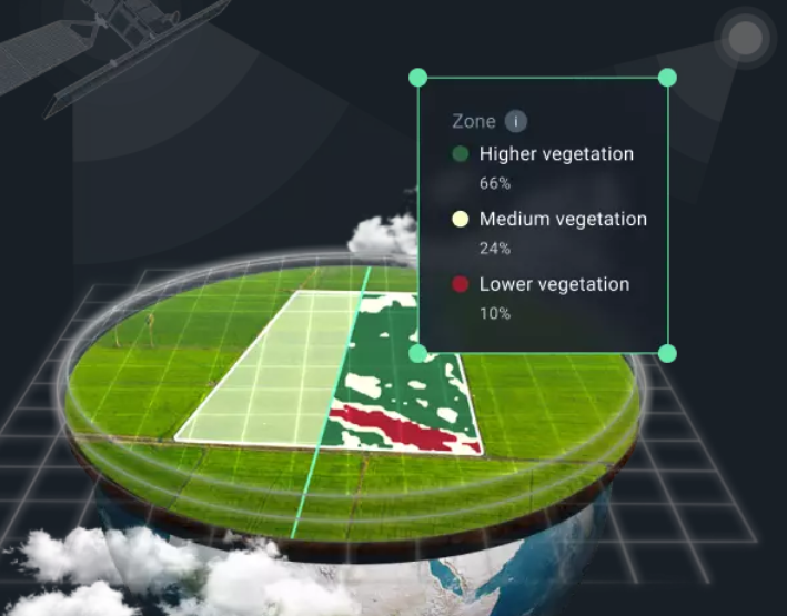
Precision farming practitioners often struggle with creating accurate VRA maps based on yield data from their machinery. The VRA Map Builder addresses these challenges, providing an intuitive and accessible solution for optimizing the application of agricultural inputs like seeds and fertilizers.
With this feature, users can upload yield data directly from their machinery into the EOSDA Crop Monitoring platform. The uploaded data is then used to create detailed VRA maps, enabling farmers to adjust input levels based on the productivity of different field zones. This not only improves crop yields but also reduces input costs and minimizes environmental impact.
Stanislav Poruban, Chief Product Officer at EOS Data Analytics, emphasized the significance of the new feature, stating, “Many farmers trust the data collected directly from their equipment over other sources. By integrating this data seamlessly into our platform, we’re simplifying their workflow and enhancing the accuracy and reliability of their decision-making process.”
Users can upload yield data from their machinery into the platform’s Data Manager interface. After assigning the data to an existing or new field, they can create a VRA map and adjust the settings as needed. The Map Builder can also be accessed via the VRA Maps menu.

Users can upload machinery data as a layer on an existing field map, supplementing it with additional data.If users have already uploaded their machinery files, they can create a VRA map by selecting the relevant field and adding the uploaded file as a layer.
This highly customizable VRA map solution allows farmers to tailor inputs to specific field conditions, ultimately improving the efficiency of precision farming practices.
The VRA Map Builder is now available to all users subscribed to the Professional plan of EOSDA Crop Monitoring, supporting the agriculture sector’s shift toward smarter, more sustainable farming practices.